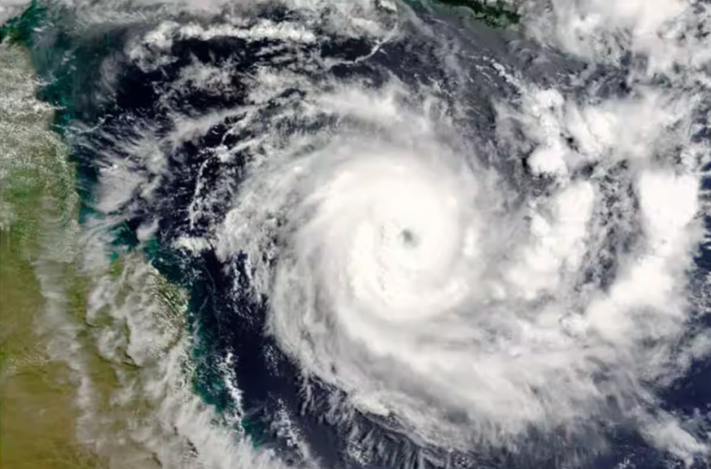
The Indian Meteorological Department (IMD) has issued warnings for Cyclone Remal, expected to make landfall over the West Bengal coast by Sunday evening, May 26th. This will be the first cyclone of the pre-monsoon season in the Bay of Bengal.
The low-pressure system currently brewing in the southwest Bay of Bengal is predicted to intensify into a deep depression by Friday morning. This system, named Remal (meaning “sand” in Arabic), will likely take a northeasterly course, gathering strength before striking the West Bengal coast.
Current Situation and Trajectory of Cyclone Remal
As of Thursday evening, the cyclonic circulation extends up to 7.6 km above sea level, indicating a potentially powerful storm. The IMD forecasts Remal to reach the northeast Bay of Bengal before making landfall on Sunday, maintaining significant intensity throughout its journey.
Areas on Alert
While West Bengal braces for the direct impact, the states of Odisha and neighboring regions in Northeast India are also on high alert. The IMD predicts heavy rainfall across these regions, particularly in Mizoram, Tripura, Manipur, Meghalaya, and Assam, with potential accumulations exceeding 200 mm over a three-day period starting Sunday.
Precautionary Measures
Authorities in West Bengal and Odisha have begun implementing precautionary measures. This includes evacuation plans for vulnerable coastal communities, stocking essential supplies, and deploying disaster relief teams. Fishermen have been advised to stay ashore until the cyclone passes.
Residents are urged to stay informed by following weather updates from the IMD and local authorities. Those in potentially affected areas should be prepared to follow instructions and take necessary precautions to ensure their safety.


